
Project Portfolio
Explore Our Latest Project Achievements
All Projects
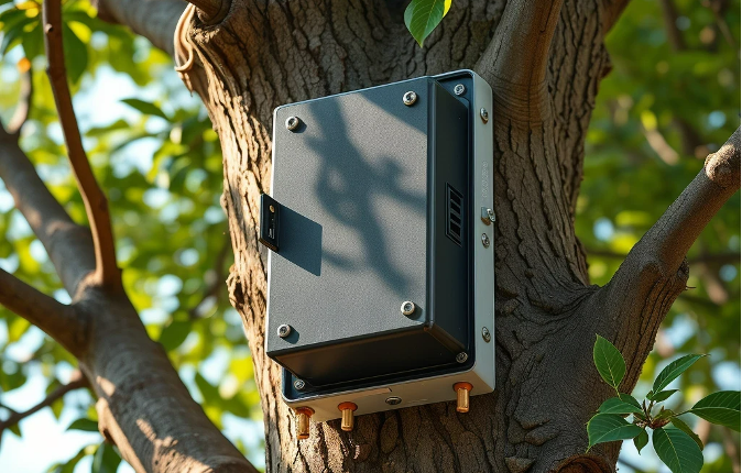
Tree Sensing System
A tree sensing system from RST Ltd.: a high-precision accelerometer calculates tilt to track loss of mechanical support strength in roadside trees before they fall, with temperature, humidity, pressure sensors and GNSS. Data goes by Bluetooth to a gateway and over 4G to the cloud; tilt beyond 1 degree raises an alert.
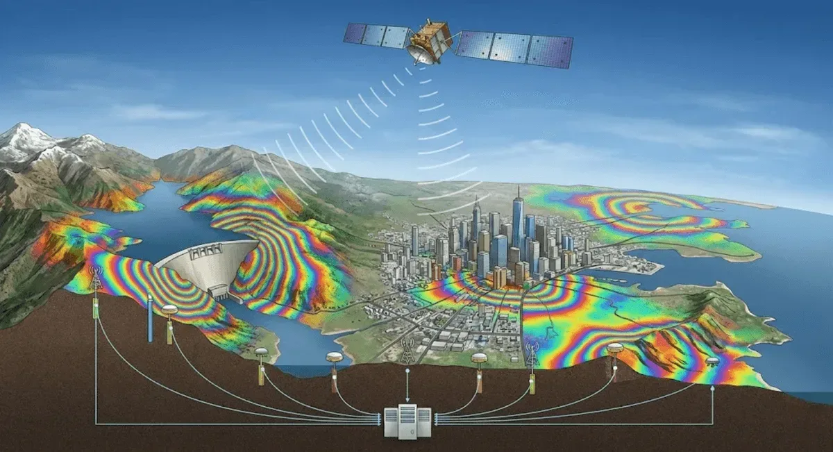
InSAR Satellite Radar Ground Deformation Analysis
RST Ltd. builds on InSAR to deliver wide-area, long-term time-series ground deformation analysis for potential large-scale landslides, land subsidence and slope deformation. DInSAR, PS-InSAR or SBAS-InSAR are selected by scenario, with time series built from archive and new imagery and validated against GNSS data.
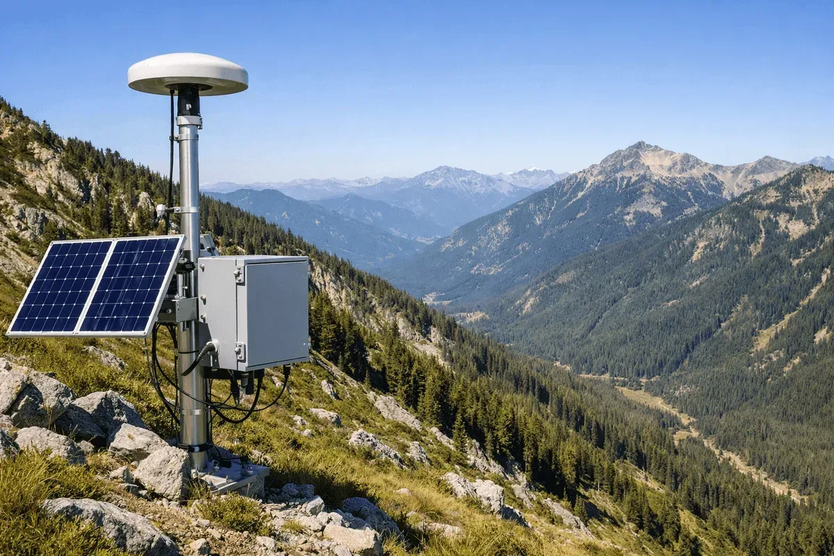
GNSS Slope and Surface Displacement Monitoring
RST Ltd. deploys fixed GNSS monitoring stations across slopes, road slopes and landslide-prone sites throughout Taiwan, using RTK positioning for round-the-clock, centimetre-level 3D surface displacement data, plus long-term processing and equipment maintenance. Results integrate with InSAR and inclinometer data.
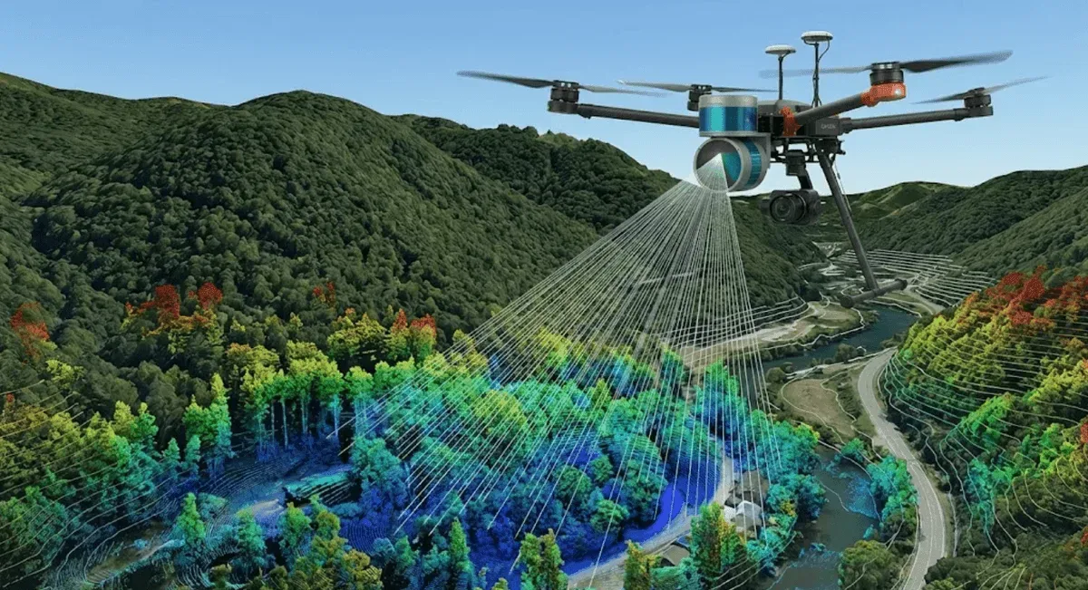
UAV Airborne LiDAR Scanning and Terrain Mapping
RST Ltd. uses UAV-mounted LiDAR for high-density point-cloud scanning: multiple returns penetrate vegetation to capture true ground elevation, producing digital terrain models (DTM/DSM) and contours, with multi-period comparison of terrain and sediment change. For farm roads, landslide areas and engineering sites.
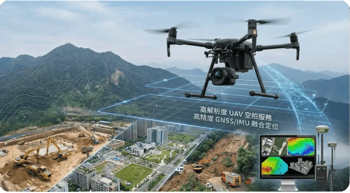
3D Modeling and Aerial Photogrammetry
RST Ltd. uses UAV aerial photography and photogrammetry to reconstruct high-precision 3D models, point clouds and orthophotos from multi-angle imagery, and to calculate excavation and stockpile volume change. Applied to 3D digital preservation of heritage buildings, engineering-site modeling and volume analysis.