
Project Date
October 15, 2024
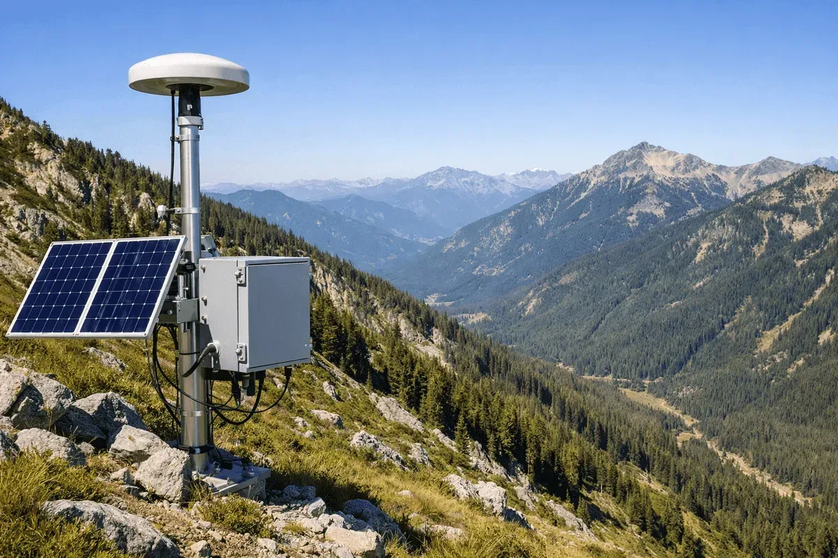
RST Ltd. has deployed fixed GNSS monitoring stations across numerous slopes, road slopes, and landslide-prone areas throughout Taiwan, providing long-term, continuous 3D surface displacement data that supports early-warning and operations & maintenance work for soil and water conservation, highways, and urban hillside safety.
Service Capabilities
- Centimeter-level real-time positioning: Real-time kinematic (RTK) positioning delivers centimeter-level accuracy in both the horizontal and vertical directions. For the underlying technical principles, see What Is GNSS? The Five Satellite Positioning Systems and How They Work and What Is Differential Positioning? RTK, PPK, PPP and Static Compared.
- 24-hour continuous monitoring: Monitoring stations operate around the clock, automatically processing and transmitting displacement data.
- Data processing and operations & maintenance: We provide long-term GNSS data processing, equipment maintenance, and additional station installation services.
- Multi-source integration: Data can be integrated and interpreted alongside wide-area InSAR deformation analysis, inclinometers, and other on-site sensor data.
For detailed technical information, see Near Real-Time Differential GNSS Positioning.
Track Record (Representative Cases)
- 2021: GPS Monitoring Service Projects at Xiuluan, Guanghua, Dawu (Taitung), and Maopu (Hsinchu)
- 2022: Slope GPS Monitoring Data Processing; Soil and Water Conservation Bureau GNSS Operations and Maintenance
- 2023: “GNSS Monitoring Equipment for Taipei City Hillside Slope Improvement and Facility Maintenance Works”
- 2023–2024: GNSS monitoring station operations and maintenance across multiple Agency of Rural Development and Soil and Water Conservation jurisdictions (Shiding, Xizhi, Wufeng, Jianshi, Fuxing in Taoyuan, Hualien, and more)
- 2024: “GNSS Monitoring Station, National Freeway No. 6 Guoxing Section”; Highway Bureau, MOTC GNSS Equipment, Provincial Highway No. 9; GNSS Installation, Jiangmu Island
Application Areas
Road and hillside slope monitoring, displacement early warning for landslide-prone areas, deformation monitoring for levees and infrastructure, and long-term operations & maintenance of soil and water conservation monitoring stations.