
Near Real-Time Differential GNSS Positioning (NRT DGNSS Positioning)
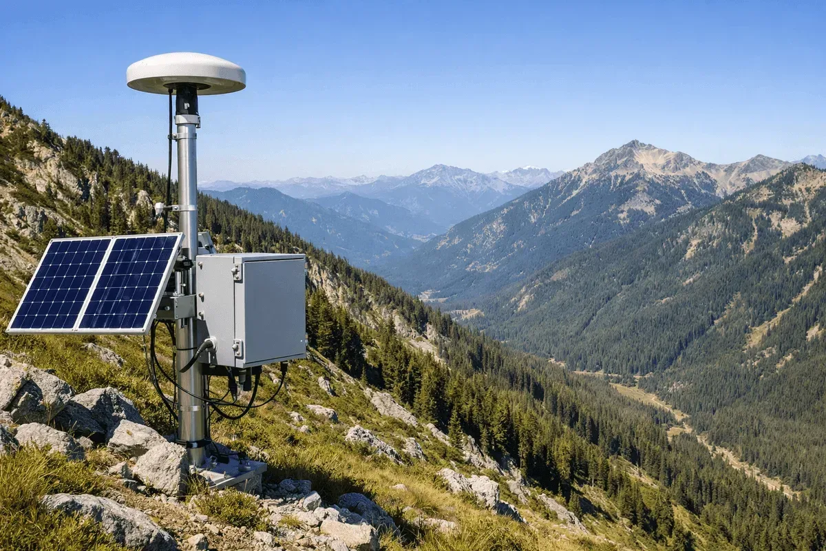
Service Content
Using near real-time differential GNSS positioning (NRT DGNSS Positioning) — base-station corrections remove errors common to both stations, and the monitoring station resolves its position with carrier-phase real-time kinematic (RTK) processing — we provide centimeter-level 3D displacement monitoring services.
This service resolves position from carrier-phase observations. It differs from conventional differential positioning based on pseudorange (code) corrections alone, which reaches only sub-meter to meter-level accuracy — adequate for navigation and mapping, but not for deformation monitoring of structures.
Main Applications
- Bridge and building displacement monitoring
- Slope stability monitoring
- Dam and levee deformation monitoring
- Earthquake and land subsidence monitoring
Technical Advantages
- Centimeter-level positioning accuracy
- Near real-time continuous monitoring
- 3D displacement measurement
- Long-term stability and reliability
Representative Cases
Further Reading
- How Baseline Length Degrades GNSS Monitoring Data Quality
- What Is Differential Positioning? RTK, PPK, PPP and Static Compared
More topics are collected in Insights.
Frequently Asked Questions
What is the positioning accuracy of the GNSS monitoring system?
Our GNSS system enables 3D displacement tracking with positioning accuracy of 1-2 cm horizontally and 2-3 cm vertically. It receives all-constellation dual-frequency signals and is suitable for long-term continuous displacement monitoring of structures such as bridges, slopes, and dams.
Can GNSS monitoring operate around the clock?
Yes. The GNSS system is designed for 24/7 uninterrupted operation, unaffected by weather and lighting conditions. The system features automated data transmission and anomaly alerts, and can be paired with the GeoGuard platform for real-time monitoring.
What types of monitoring projects is GNSS suitable for?
GNSS is particularly suitable for displacement monitoring projects requiring centimeter-level accuracy, including bridge and building displacement, slope stability, dam and levee deformation, and long-term observation of earthquakes and land subsidence.