
Project Date
November 20, 2024
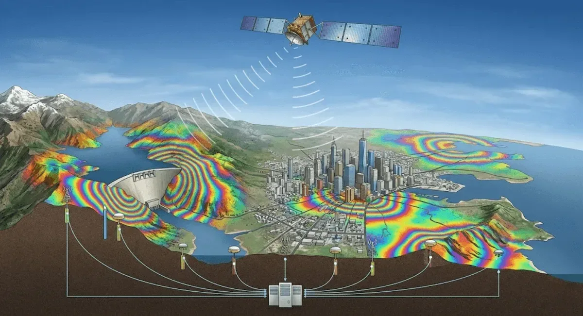
RST Ltd. builds on Interferometric Synthetic Aperture Radar (InSAR) to provide wide-area, long-term time-series ground deformation analysis for potential large-scale landslides, land subsidence, and slope deformation. Results can be integrated with on-site GNSS monitoring to form a “wide-area survey plus targeted real-time tracking” monitoring framework.
Service Capabilities
- Multi-technique integration: Method selection depends on the scenario, following the guidance in DInSAR vs PS-InSAR vs SBAS-InSAR: An Engineer’s Method Selection Guide — DInSAR for large-magnitude, event-driven deformation; PS-InSAR for point-by-point time series in urban areas and structures; and SBAS-InSAR for vegetated or topographically dynamic areas.
- Multi-temporal deformation monitoring: Historical and newly acquired satellite imagery are used to build time series and quantify line-of-sight (LOS) deformation rates.
- Ground control and verification: InSAR results are validated against ground control point surveys and GNSS data to improve reliability.
- Integrated data interpretation: Terrain, geological, and on-site sensor data are combined to pinpoint landslide-susceptibility hotspots.
For detailed technical information, see InSAR Satellite Radar Deformation Analysis.
Track Record (Representative Cases)
- 2021: “InSAR Satellite Imagery Analysis Technical Services”
- 2021: “Multi-Scale Remote Sensing for Surface Deformation in Potential Landslide Areas”
- 2022: “Ground Control Point Survey and InSAR Analysis for Landslide-Prone Area Monitoring, Compartment 58, Luanda Working Area, Nantou District Office Jurisdiction”
- 2023: “Landslide Activity Investigation and Observation Technology Application”
- 2024: “Commissioned Professional Services Project on the Taipei City Slope Landslide Early Warning Mechanism and Multi-Temporal Remote Sensing Survey and Analysis of Surface Deformation”
- 2024: “Investigation, Monitoring, and Operations & Maintenance Program for Potential Large-Scale Landslide-Prone Areas, Fuli Township and Yuli Township, Hualien County”
Application Areas
Monitoring of potential large-scale landslide-prone areas, investigation of land subsidence and urban settlement, sediment-transport change analysis for watersheds and mountain streams, and surface-stability assessment around major public infrastructure projects.