
Project Date
September 10, 2024
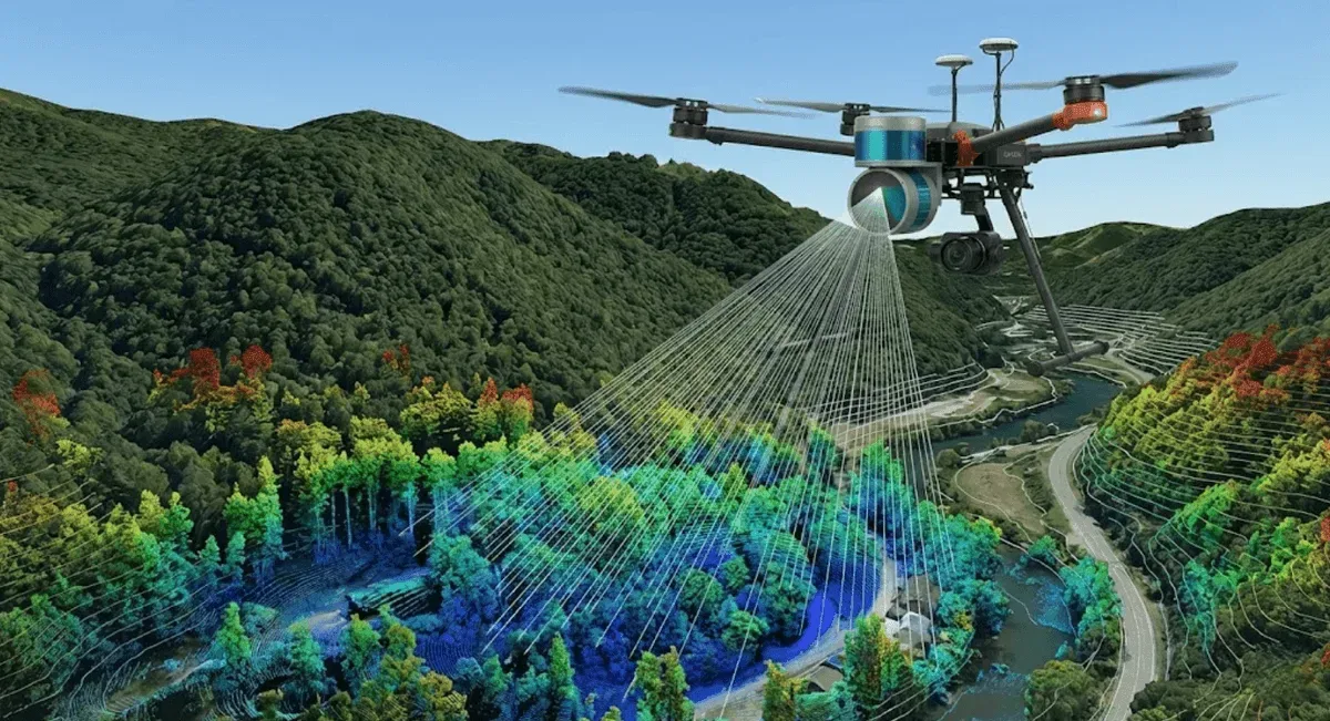
RST Ltd. uses UAV-mounted LiDAR (UAV LiDAR) to provide high-density point-cloud scanning that effectively penetrates vegetation to obtain true ground elevation, producing digital terrain models (DTM/DSM) that support surveying and change analysis for farm roads, landslide areas, and major engineering sites.
Service Capabilities
- Vegetation-penetrating scanning: Multiple LiDAR returns capture the true ground surface beneath vegetation, producing a high-precision DTM.
- High-density point-cloud modeling: Terrain point clouds, contour lines, and digital elevation outputs are produced.
- Multi-period change analysis: Scan results from different periods are compared to identify changes in terrain and sediment.
- Integration with surveying: Results can be combined with aerial photogrammetry and ground control surveys to improve accuracy.
For detailed technical information, see UAV LiDAR Scanning Services.
Track Record (Representative Cases)
- 2021: “Airborne LiDAR Scanning Trial, Minxiong, Chiayi”; “LiDAR Scanning Operation, Lantai Monitoring Zone”
- 2022: “Hsieh-ho Power Plant Renewal and Reconstruction Project – Monitoring of the Existing Access Corridor in Keelung Harbor Area – Airborne LiDAR Scanning Subcontract”
- 2023: “LiDAR Scanning, Carbon Neutrality Park”
- 2024: “UAV LiDAR Survey, Siping Farm Road, Mudan”
Application Areas
Terrain mapping for farm and forest roads, change analysis for landslide areas and soil-disposal sites, digital terrain production for engineering sites, and watershed terrain surveys.