服務項目
主要服務
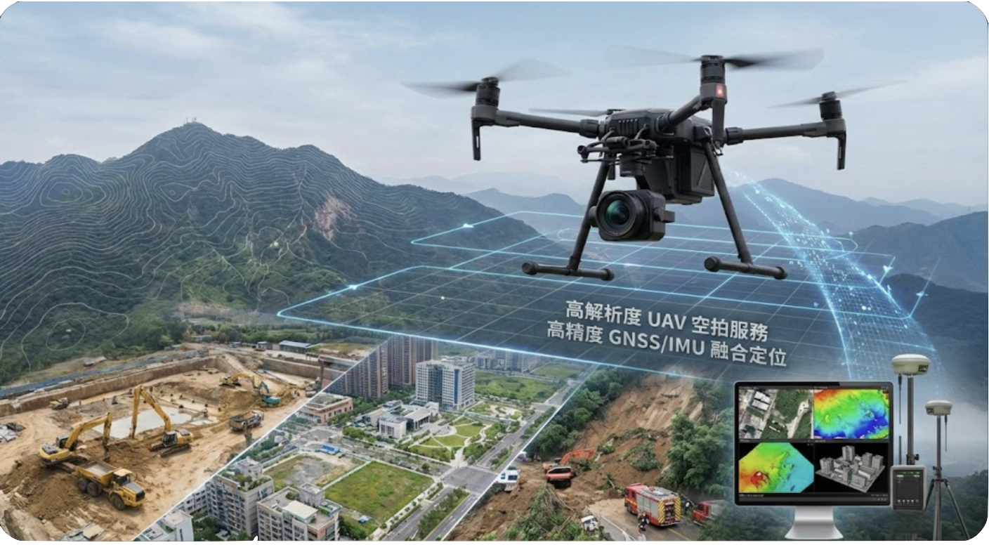
UAV 空拍服務
利用無人機進行高精度航拍與影像測量,提供地形建模、工程監測與環境調查服務。
UAV Aerial Services
High-precision aerial photography and photogrammetry using drones for terrain modeling, engineering monitoring, and environmental surveys.
UAV 空撮サービス
ドローンを使用した高精度な空撮と写真測量により、地形モデリング、工学的モニタリング、環境調査サービスを提供します。
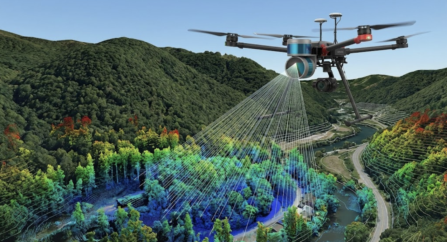
UAV 光達掃描服務
運用光達技術進行三維空間掃描,提供高精度的地形與結構物測量服務。
UAV LiDAR Scanning Services
Using LiDAR technology for 3D spatial scanning to provide high-precision terrain and structure measurement services.
UAV LiDAR スキャニングサービス
LiDAR技術を使用した3次元空間スキャンにより、高精度な地形および構造物の測量サービスを提供します。
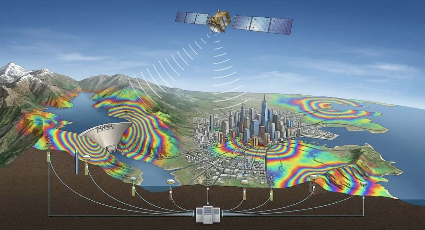
DInSAR 形變監測
應用差分干涉合成孔徑雷達技術,進行大範圍地表變形監測與分析。
DInSAR Deformation Monitoring
Applying Differential Interferometric Synthetic Aperture Radar technology for large-scale ground deformation monitoring and analysis.
DInSAR 変形モニタリング
干渉合成開口レーダ(DInSAR)技術を応用し、広範囲の地盤変動モニタリングと分析を行います。
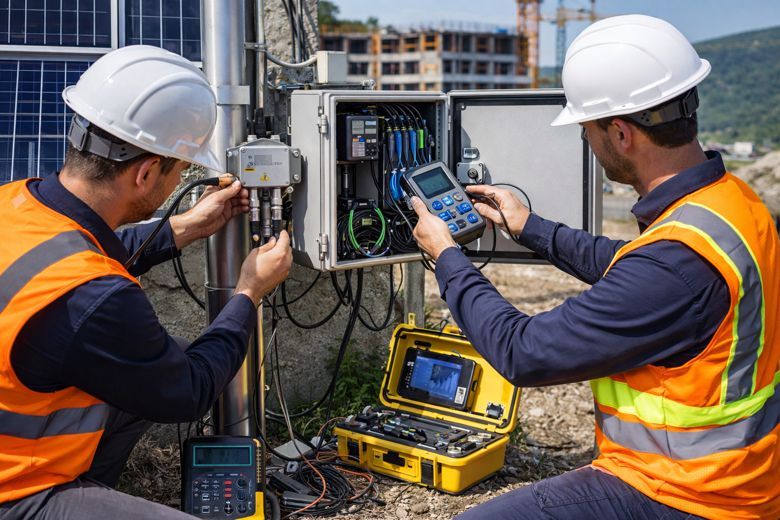
設備維護
提供專業的監測設備安裝、校正、維護與技術支援服務。
Equipment Maintenance
Providing professional monitoring equipment installation, calibration, maintenance, and technical support services.
機器メンテナンス
専門的なモニタリング機器の設置、校正、保守、および技術サポートサービスを提供します。
大地監測系統
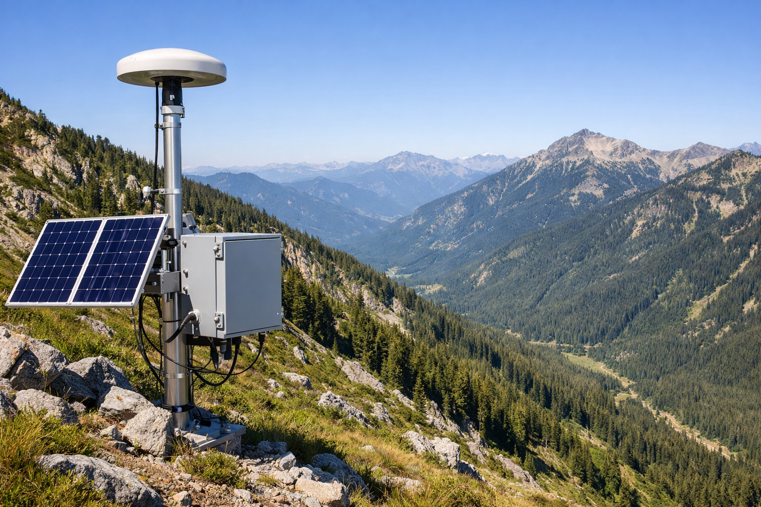
GNSS 定位系統
即時動態定位系統,提供公分級精度的位移監測服務。

GNSS Positioning
Real-time kinematic positioning system providing centimeter-level displacement monitoring services.
GNSS 測位システム
リアルタイムキネマティック測位システムにより、センチメートル級の精度の変位モニタリングサービスを提供します。
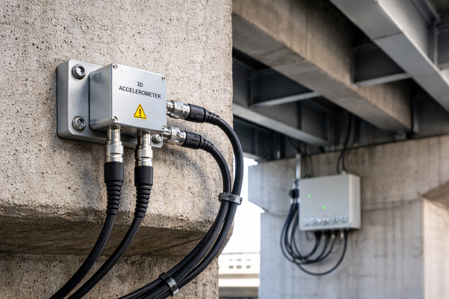
加速度計監測
高精度加速度監測系統,用於結構物動態響應分析與預警。

Accelerometer Monitoring
High-precision accelerometer monitoring system for structural dynamic response analysis and early warning.
加速度計モニタリング
構造物の動的応答解析と早期警報のための高精度加速度モニタリングシステム。
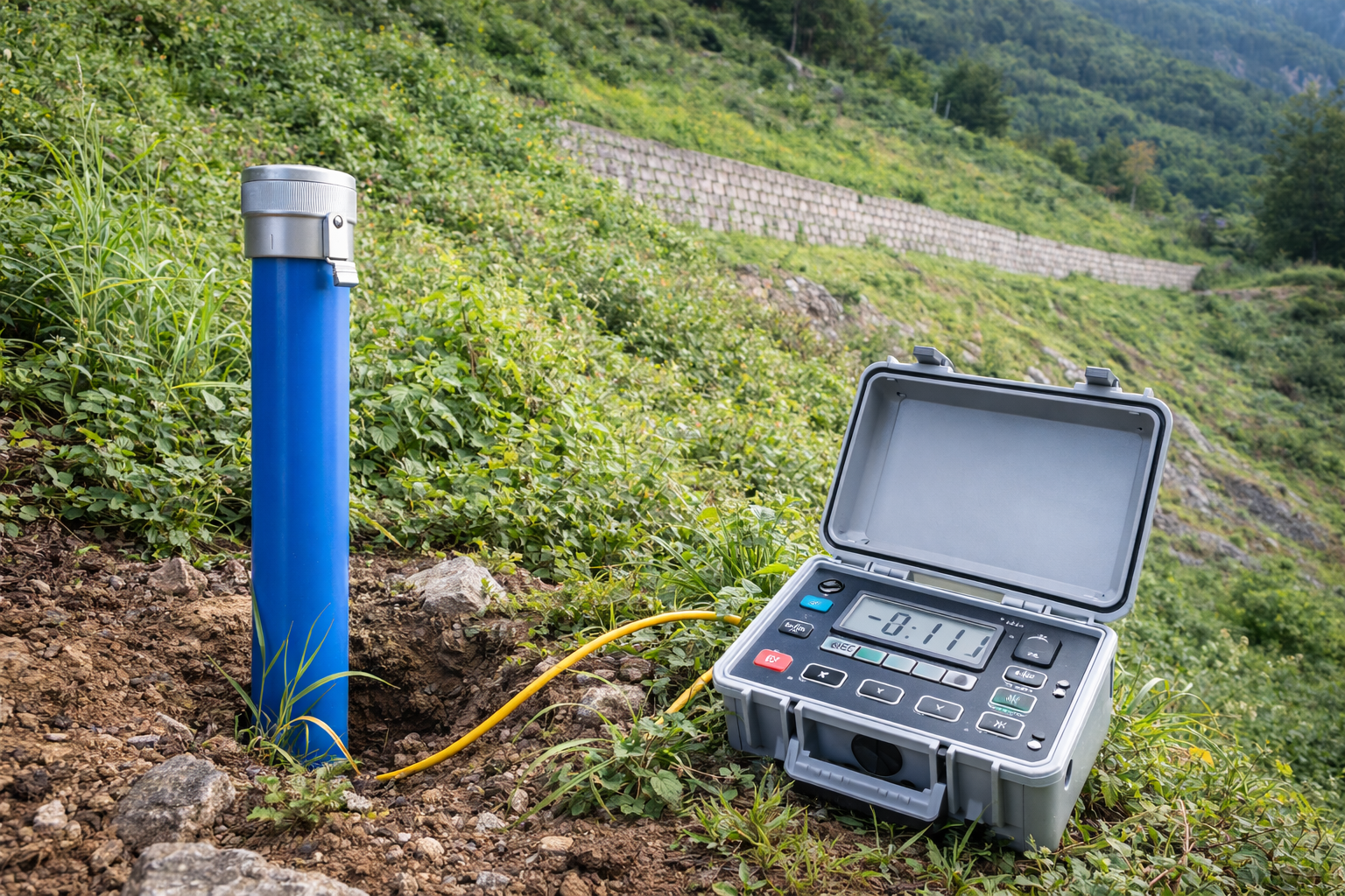
傾斜儀監測
精密傾斜角度監測,適用於邊坡、建築物與深層位移監測。

Inclinometer Monitoring
Precision tilt angle monitoring for slopes, buildings, and deep displacement monitoring.
傾斜計モニタリング
斜面、建築物、深層変位モニタリングに適した精密傾斜角度モニタリング。

AI 預測系統
結合人工智慧與機器學習,提供災害預警與趨勢預測服務。

AI Prediction System
Combining artificial intelligence and machine learning to provide disaster warning and trend prediction services.
AI 予測システム
AIと機械学習を組み合わせ、災害予警報と傾向予測サービスを提供します。
GeoGuard 資料平台
整合式監測資料管理與視覺化平台,提供即時資料存取與智慧預警功能。
常見問題
RST Ltd. 的服務範圍涵蓋哪些地區?
我們主要服務台灣全島,涵蓋各類工程監測與空間資訊應用。對於特殊需求或國際案例,歡迎來信洽詢,我們將依案件性質評估可行性。
如何取得 RST Ltd. 的服務報價?
請透過網站聯絡表單或來電 04-26319908 與我們聯繫,提供案例概述與需求說明,我們的工程團隊將盡快回覆並提供詳細的服務方案與報價。
RST Ltd. 提供哪些類型的服務?
我們提供完整的監測與空間資訊服務,包括 UAV 空拍測量、光達掃描、DInSAR 衛星雷達監測、GNSS 定位監測、加速度計與傾斜儀監測、AI 智慧預測、GeoGuard 資料平台以及設備維護等專業服務。